
Discovering traces of the past
How an app can be used to convey current findings in landscape archaeology research content. The Kiel Science Outreach Campus at the IPN developed a mobile learning environment with digital media and investigated changes in interest and understanding of the subject connected to its use.
David Frederik Hölscher
As part of the Kiel Science Outreach Campus (KiSOC), a sub-project was dedicated to learning about archaeology using mobile learning environments. KiSOC was a joint Leibniz Science Campus initiated by the IPN and Kiel University (CAU) focusing on science communication, coordinated by the IPN until a few years ago. The campus consisted of 15 university and non-university partners. It aimed to demonstrate how scientific findings can be communicated to the public in an understandable way. An exemplary approach was taken in the sub-project presented here. An app on the subject of landscape archaeology was developed and tested. The project was carried out on excursions in the form of bicycle tours with adults and families with children. The key question of the study concerned changes in learner's perceptions of landscape as a historical phenomenon initiated by the outdoor use of a mobile app mediating content of research on landscape archaeology.
Guided interviews were conducted at various times before and after the excursions to examine the impact of the learning environment. They provided information on what changes occurred in the participants' ideas about landscape, human-environment relationships and archaeology, whether the learning environment was positively received and which features needed improvement. For evaluation, the author applied qualitative content analysis on the interviews, supplemented by case studies and findings from field notes. This allowed the creation of a preliminary typology of learner's perceptions and the reconstruction of learning progressions.
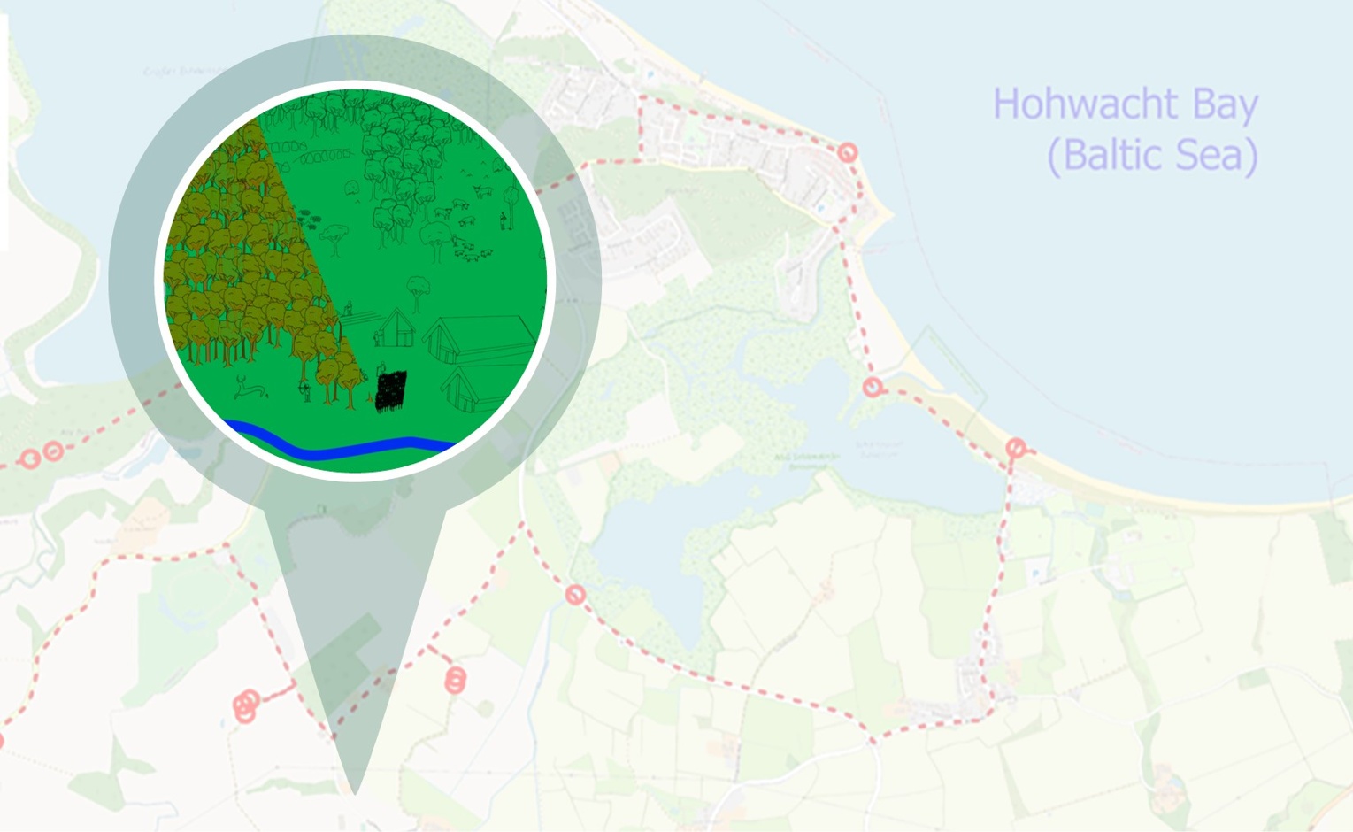
The Hohwachter Bucht in the vicinity of the town of Lütjenburg (Plön district) in Schleswig-Holstein was chosen as the model region for the app. This area shows diverse landscape features and has a rich cultural history. A description of the cultural history and of landscape development from the end of the last ice age to the end of the Middle Ages provided the base for content creation.
Guidelines from the model of didactic reconstruction, findings from outdoor learning, game-based learning and gamification as well as from history education were incorporated into the development of the concept for the app. Special consideration was also given to experiences from teaching environmental history. The educational focus lay on aspects of past human-environment relations from an archaeological perspective. Points of interest for this consisted of physical traces of landscape and cultural history, where the relevant developments took place. The technical solution for implementation was the "XPLORE" app from RheinMain University of Applied Sciences in Wiesbaden.
The target group consisted of interested non-experts, which also included children and young people around the age of 12. The wide target audience with predominantly little prior knowledge also resulted in rather low-level content for the learning environment.
This learning environment consisted of an approximately 22 km long bicycle tour along 16 different stations in the model region. At each station, participants could use the app to access information in a playful manner. Stations were mainly located at monuments and archaeological sites, but some were also positioned at other distinctive features within the landscape. Stations covered the topics of food and economy, settlement and housing, use of resources, transportation and exchange, security and fortification, hierarchies and power, and burial. Landscape history and paleoecology and cultural history were closely interlinked. Emphasis was placed on fostering an understanding of long-term developments. The learners should understand both the interaction of human and natural factors on the development of landscape over time and recognize that traces from different phases of this interaction exist in the current landscape. Landscape as people encounter it today is the result of a long and varied development, the traces of which interact in many different ways. Recognizing these aspects means developing a (historical) awareness of landscape.
A strong influence of mass media and popular representations can be seen in the study. Participants' ideas about landscape, human-environment relationships and archaeology prior to the excursions were highly influenced by mass media and popular representations. The majority of their conceptions consisted of a mixture of specialist and non-specialist knowledge, ideas and concepts.
The excursions provided enrichment to the learner's conceptions. For most participants they increased their awareness of the human factor in landscape. Landscape was thus perceived as a human-influenced, historically evolved space or as a space in which in which historical and archaeological traces can be found. Even though individual participants found it difficult to identify archaeological monuments with the help of the app, the learning environment was received very positively overall.
A small majority of the excursion participants also developed a lasting and long-term awareness of landscape. This was particularly evident in a stronger perception of potential anthropogenic landscape features or in a conscious link between the physical form of the landscape and its history. It became clear that place-based learning can stimulate and support engagement with history in the field of landscape and environmental history. Presumably, personal meaning attributed to (pre-)historical sites is important for the development of an awareness of landscape as described above. The results of the study suggest that the identification of the relevant sites is an important prerequisite. Only by learning about traces of cultural and environmental history in the landscape and by developing the ability to recognize such or potential traces can people be put in a position to engage with landscape. It is a prerequisite to understand existing features of the landscape, their individual significance for landscape history or cultural history and their interrelations.
The study shows great potential for location-based learning with mobile digital media in the fields of archaeology and environmental history. When developing content, work should be carried out as closely as possible to the current state of research so that it does justice to the professional or scientific basis. This also means openly communicating uncertainties, gaps in knowledge and the preliminary character of knowledge. The interests, ideas, skills and abilities - in short: the learning requirements of potential users – need to be considered in the planning, as must their ability to use certain services. If the offer does not suit the target group, it is unlikely that they will use it.
About the author:
Dr. David Frederik Hölscher was a researcher and doctoral candidate at the Institute of Prehistory and Early History at Kiel University and assigned to the Department of Chemistry Education at the KiSOC at the IPN. The trained archaeologist and historian worked at the Kiel Science Outreach Campus (KiSOC) on the communication of current research in multimedia learning environments. The study presented here is part of his dissertation.


